
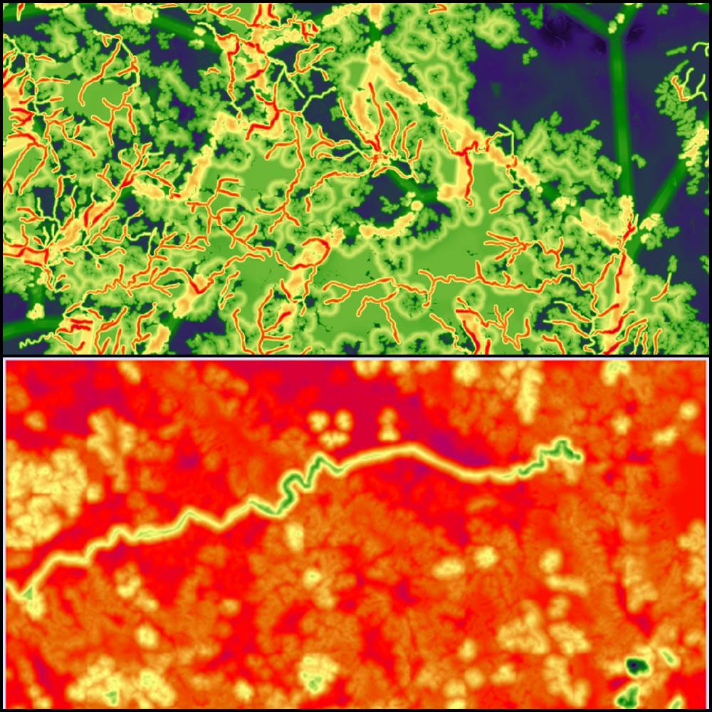
The course explores the basics of numerical cartography with a focus on concepts useful for the management of data in raster format up to their processing and representation. The laboratory activity allows to apply the concepts learnt in a GIS project oriented to spatial planning of ecosystem services and in a bioregional perspective.
Information
- Anno accademico
- 2025-2026
- Semestre / Annualità
- Primo Semestre
- Teacher: PALUMMO ALEXANDER
Course access
To view course materials, participate in activities, or check your registration status. Go to the page.